Terrain Mapping
AI-assisted pre-flight analysis identifies optimal seed zones based on soil data, moisture levels, and post-fire recovery patterns.

Every year, wildfires consume millions of hectares of forest worldwide. The scale of destruction far outpaces our ability to replant by hand — traditional methods are slow, expensive, and limited by terrain.
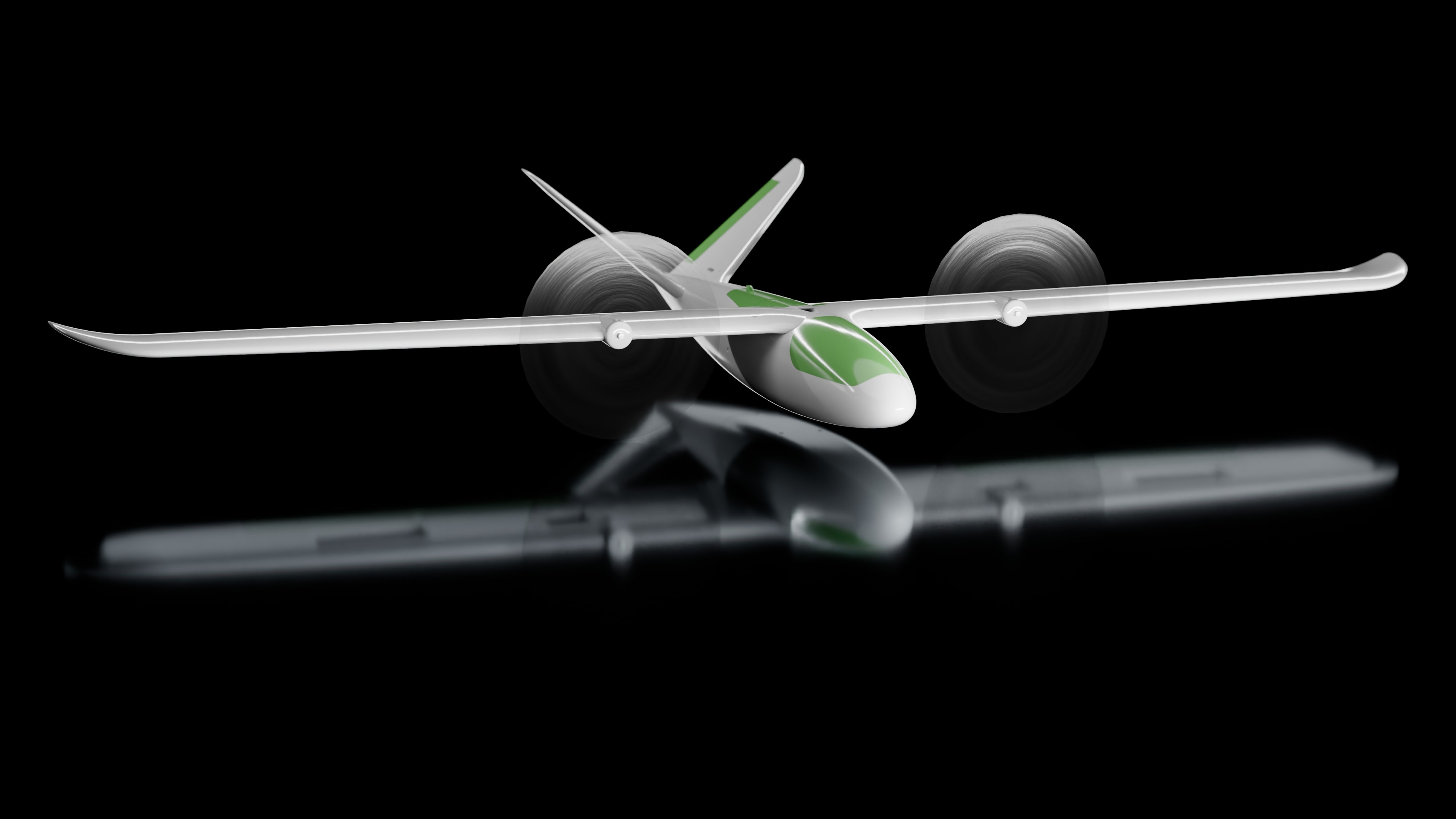
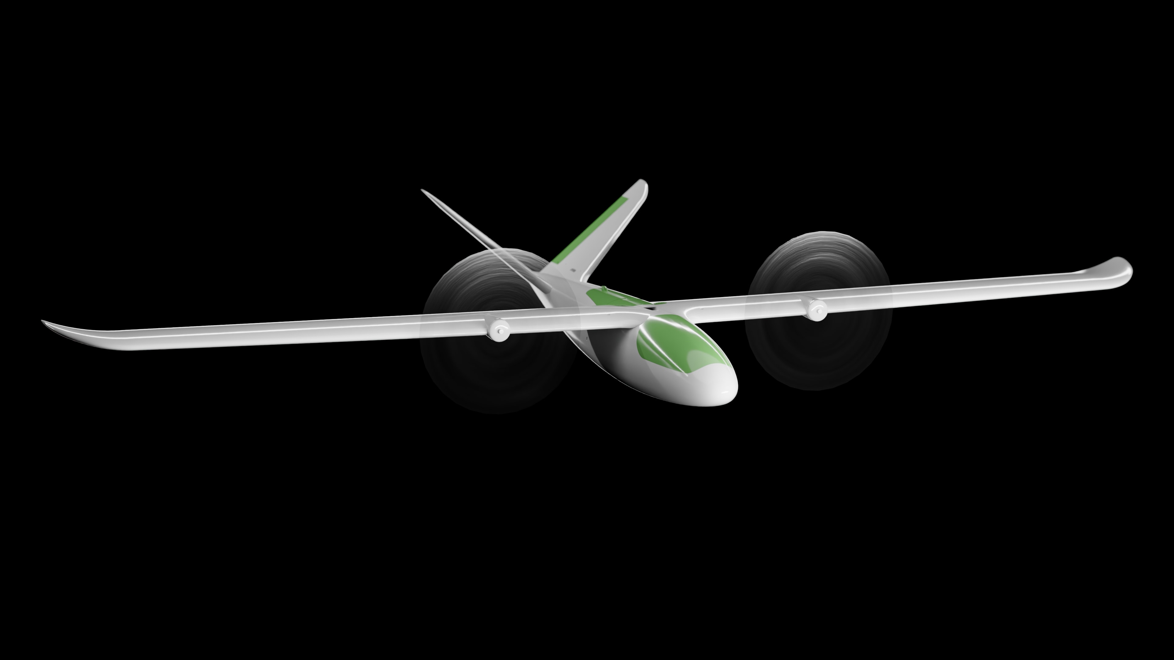
AeroForest changes the equation. Our autonomous fixed-wing drones cover vast areas in a single flight, deploying seed cartridges with precision across terrain that ground crews cannot reach.
By combining aerial robotics with ecological intelligence, we turn devastated landscapes into tomorrow's forests — faster, cheaper, and at the scale the planet demands.
AI-assisted pre-flight analysis identifies optimal seed zones based on soil data, moisture levels, and post-fire recovery patterns.
Fixed-wing flight paths are calculated to maximize seed dispersal density while adapting to wind and terrain conditions in real time.
Post-mission data is logged and analyzed to track germination rates, enabling continuous optimization of future flights.

| Wingspan | 2.4 m |
| Max Takeoff Weight | 4.2 kg |
| Payload Capacity | 1.5 kg (seed cartridge) |
| Cruise Speed | 65 km/h |
| Endurance | 90 min |
| Range | 120 km |
| Propulsion | Dual electric motors |
| Navigation | GPS + RTK |
| Seed Deployment | Pneumatic dispersal system |
| Operating Altitude | 30–200 m AGL |
AeroForest is currently in development. If you represent a forestry organization, research institution, or impact investor, we want to hear from you.
Get in Touch